SkyWatch and Picterra Join Forces to Make Geospatial Insights Available to All
WATERLOO, Ontario, October 5, 2020 (Newswire.com) - Every day, trillions of pixels are captured by satellites orbiting our planet. Satellite imagery has become a powerful tool for research, discovery, and analysis. From climate monitoring to illegal mining detection, deforestation, agriculture, and even construction, retail, or finance, applications are endless. The complexity and costs associated prevented the wide adoption of these datasets in the past, however thanks to a new crop of companies united by their missions to democratize access to satellite data and machine learning, geospatial insights are now available to all. SkyWatch and Picterra are thrilled to announce their partnership and a new unique joint program.
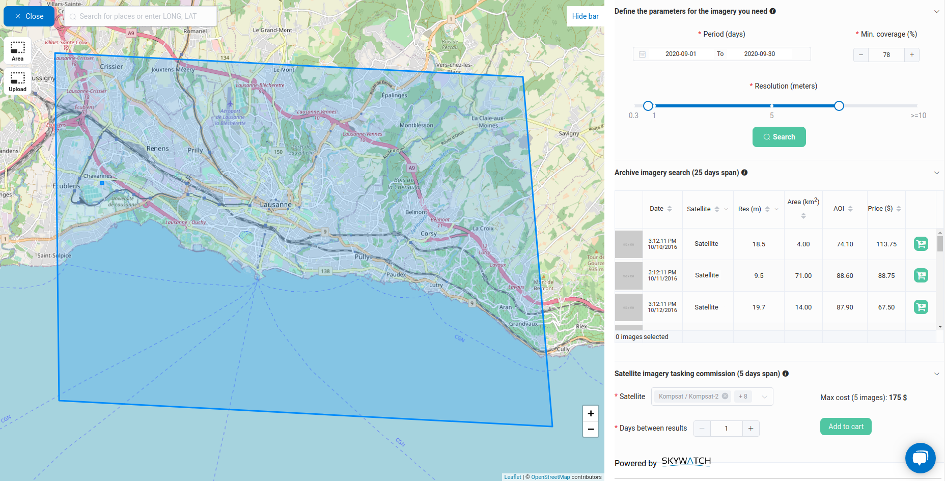
SkyWatch is building the infrastructure for the automated distribution of Earth observation (EO) data. SkyWatch EarthCache™ provides developers with the tools they need to cost-effectively add EO data into their applications and workflows. Picterra is the leading ML/AI Software-as-a-Service platform enabling businesses to autonomously extract intelligence & analytics from satellite, aerial, and drone imagery. It comes with a ready-to-use IT infrastructure: in a few clicks, it’s possible to process terabytes of imagery with Picterra’s auto-scaling, GPU-enabled infrastructure.
By working together, Picterra becomes the leading solution on the market for extracting insights with self-serve ML/AI tools and EO imagery, enabling any company to cost-effectively access unprecedented geospatial intelligence & analytics capabilities. Picterra is disrupting traditional methods of extracting information from imagery – the platform is 90% less expensive than data science services and 95 times faster than traditional methods of data analysis – a machine learning model can be built in less than 30 minutes and no coding skills are required.
With this partnership, Picterra’s customers can now automatically monitor their areas of interest for change, thanks to a combination of EarthCache's automated tasking request feature and Picterra’s automated detection algorithms. Previously unseen monitoring capabilities are now made available to anyone. This new integration allows Picterra to provide customers with a cost-effective way to access satellite EO imagery and the ability to instantly generate new insights to stay ahead of the competition.
To learn more about it, visit http://bit.ly/Picterra-SkyWatch
“We are delighted to be able to close the loop thanks to this partnership with SkyWatch. We can now offer to our customers a self-service platform from direct access and purchase of imagery down to the extraction of their customized geospatial analytics.” - Frank de Morsier, CTO at Picterra
“Partners such as Picterra allow us to further our mission to make Earth observation more accessible. By allowing companies to automatically and easily create geospatial analytics, Picterra helps solve another piece of the ‘space-to-application’ puzzle,” mentioned James Slifierz, CEO and co-founder of SkyWatch.
About SkyWatch
SkyWatch (www.skywatch.com) is on a mission to make Earth-observation data accessible to the world. Hundreds of trillions of pixels of our planet are captured from space every day. Utilizing our past experience in space data aggregation software, our team is building the infrastructure to connect satellite data operators and application developers. EarthCache™ is the simplest way to get satellite data for an application, whether you are working in agriculture, utilities, energy, oil & gas, natural resources management, smart cities, insurance, fintech, etc.
About Picterra
Picterra (www.picterra.ch) is the first ML/AI Software-as-a-Service geospatial platform enabling businesses to autonomously extract intelligence & analytics from satellite and aerial imagery. Picterra’s users build and deploy unique actionable and ready to use deep-learning models, quickly and securely without a single line of code. Thanks to its pre-trained base detectors, only a few human-made annotations are needed to identify and monitor any object or patterns at scale, anywhere on Earth.
Media contact
SkyWatch: Marine Dumontier // media@skywatch.com // +1 (833) 711-2090
Picterra: Monika Ambrozowicz //marketing@picterra.ch
Source: SkyWatch