GHGSat Expands Aerial Emissions Monitoring Service
MONTREAL, October 21, 2021 (Newswire.com) - GHGSat, a global leader in remote sensing of industrial methane emissions from space, has increased its aerial methane monitoring capability by deploying a second, state-of-the-art airborne sensor.
GHGSat's first airborne sensor was deployed in early 2019 and debuted GHGSat's aerial monitoring service, DATA.AIR, in North America. This second sensor will increase capacity in North America and provide opportunities to deploy the airborne sensor overseas.
GHGSat's airborne sensor uses the same patented technology originally developed for its world-leading fleet of high-resolution satellites. GHGSat currently has three satellites in orbit to detect and measure methane emissions from industrial facilities anywhere in the world and is set to grow its constellation to 10 commercial satellites by the end of 2023.
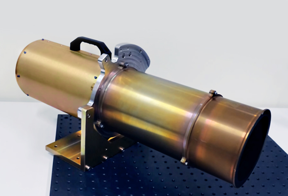
The airborne sensor can operate at a variety of altitudes (up to 3,000m), balancing spatial resolution with coverage needs to meet specific survey requirements of customers. The instrument identifies the unique ''signature'' created by methane in the atmosphere as it absorbs sunlight reflected off the surface of the Earth. With this technology, industrial operators can accurately measure emissions and pinpoint their exact source — from oil and gas infrastructure, coal mines, power generation facilities or landfill sites — to support their emission-reduction programs.
"So far this year, our airborne sensor has surveyed over 60,000 sites delivering precision emission data to our customers in the U.S. and Canada. We are increasing our airborne capacity in order to meet increasing customer demand," said Stephane Germain, GHGSat CEO.
With the success of the first airborne sensor, GHGSat continued its collaboration with Honeywell's Defence and Space Business unit. The additional sensor expands the aerial monitoring offering to customers who already subscribe to GHGSat's satellite data.
GHGSat is the only emissions-monitoring company operating today with both airborne and satellite sensors, working together in a tiered system to provide cost-effective monitoring solutions for customers. GHGSat's aerial service, DATA.AIR, is optimized for periodic measurements of regions or pipelines with equipment-level resolution. GHGSat's satellite service, DATA.SAT, is optimized persistent coverage on a global scale with facility-level resolution. DATA.AIR and DATA.SAT are combined with third-party measurements and proprietary analytics and delivered through GHGSat's customer portal, SPECTRA.
The new airborne sensor is currently in test flights taking place in Alberta, Canada, since mid-October. The instrument will be ready for commercial operation by November 2021.
For further information, please contact Sevana Jinbachian at sjinbach@ghgsat.com.
About GHGSat
GHGSAT is a leader in high-resolution greenhouse gas monitoring from space, providing actionable emission data to businesses, governments, and regulators worldwide. With proprietary remote-sensing capabilities and patented technology, GHGSat can monitor individual facilities, offering greater data accuracy, and facilitating timely strategic decision-making insights. www.ghgsat.com
Source: GHGSat